Landcom is involved in the collaborative research as a member of the project steering committee, and is also making our projects available as test beds for the practical application of the research.
The research objectives are:
-
To provide governments and built environment industries with a decision-support tool to inform urban policy, development assessment and planning practices related to potential building and urban interventions, used to cool streetscapes and cities, decrease energy consumption, protect the population’s vulnerable health-wise, and improve conditions of comfort.
-
To integrate scientific models with a range of mitigation techniques to perform urban heat island mitigation analysis across both building and urban scales, such as building coatings and roofs, urban form and density, greenery and infrastructure.
-
To develop an Urban Heat Island Mitigation Performance Index to support governments in establishing performance targets for their planning control. The Index will indicate impact on street level temperature, health and mortality, precinct level energy consumption, etc.13
The output from the project is critical to Landcom as it will provide a tool enabling us to model and predict the urban heat impacts in our masterplans and adapt the communities to minimise the impacts. Urban heat is a key driver of climate and community resilience through its effect on energy efficiency and greenhouse gas emissions, stress on people and morbidity rates, liveability through walkability and many other facets of what makes a community sustainable.
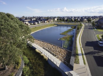
During FY18, we began testing the tool at Green Square Town Centre and Macarthur Heights, which are two very different geographic areas (inner Sydney and greater Sydney), with distinct microclimates and building types, and with differing levels of natural environment surrounding the sites. The testing included site scanning with the ‘Energy Bus’ and a special drone fitted with sensors and cameras.
Preliminary results from the testing clearly show the dramatic benefits of using reflective surfaces and exposing foliage such as grass and trees. At Macarthur Heights, the difference in roof surface temperature between a light grey and white roof is almost 10 degrees Celsius. The surface temperature of darker roofs at the hottest part of the day can be up to approximately double the temperature of a white roof, as can be seen in the bottom images of Figure 1.
With a model that can predict the surface and air temperatures, Landcom will be able to reflect any environmental improvements realised through direct design interventions within the PRECINX models established for our projects. This will empower teams to predict the reductions in energy usage (and GHG emissions) and cost of living improvements associated with energy use, and plan for improved walkability by knowing where the ‘cool routes’ are within a community.
The UHI-DS Tool research project will wrap up in FY19, and Landcom is looking forward to sharing the outcomes of the pilot site models. Moving forward we will also develop a strategy for fitting the UHI-DS Tool in our suite of sustainable masterplanning tools.

Figure 1 Preliminary Results showing temperature gradient between different surface types at Macarthur Heights.
Image credit: CRCLCL UHI-DS Tool.

Figure 2 Surface temperature of Green Square Town Centre, data collected by drone and stitched together to create a full map.
Image credit: CRCLCL UHI-DS Tool.
13 RP2023: Microclimate and Urban Heat Island Mitigation Decision-Support Tool (2018) http://www.lowcarbonlivingcrc.com.au/research/program-2-low-carbon-precincts/rp2023-microclimate-and-urban-heat-island-mitigation